
Westprint Oodnadatta Track Westprint
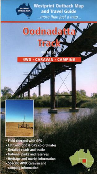
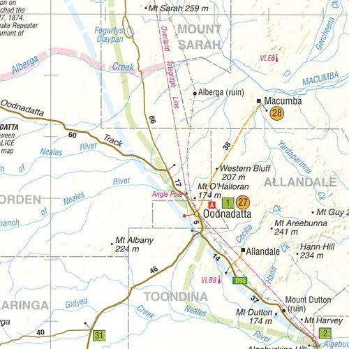
This Westprint map (8th edition) covers the iconic Oodnadatta Track from Lyndhurst to Oodnadatta via Marree, Lake Eyre, William Creek and Algebuckina, one of outback Australia's most significant heritage routes. The track closely follows an historic Aboriginal trade route, the Overland Telegraph Line and the old Ghan railway, passing unique mound springs, the shores of Lake Eyre — Australia's largest lake — and Anna Creek, the world's biggest cattle station. The map also extends to cover the Stuart Highway between Woomera and Marla and the approach to Marree via Leigh Creek. One side shows GPS-located roads and tracks, while the reverse provides detailed notes on each area's history, explorers, points of interest, flora and fauna, plus photographs of landmarks. Practical details include road and track distances, rest areas, camping and caravan information and permit notes for accessing Lake Eyre National Park. Folding to a glovebox-friendly 140mm x 250mm, this Hema Maps-stocked Westprint sheet is an essential companion for an Oodnadatta Track crossing by 4WD or caravan.