
Hema South Australia Handy Map
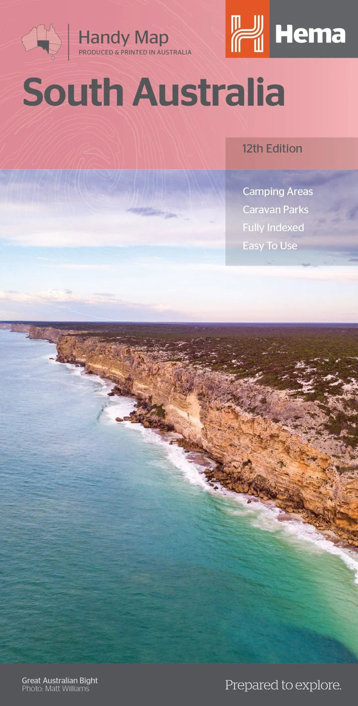
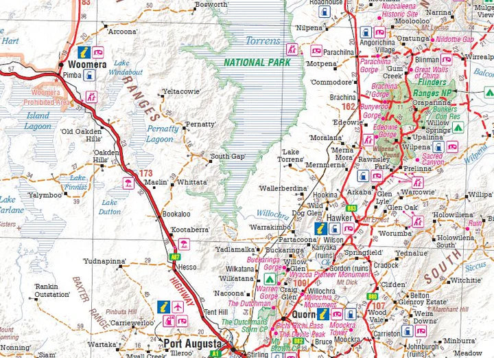
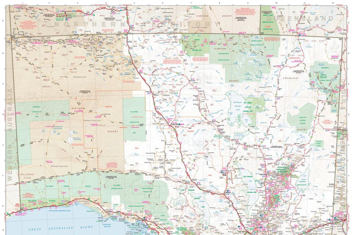
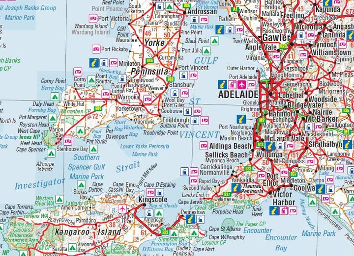
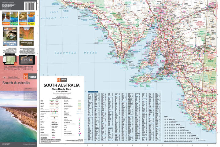
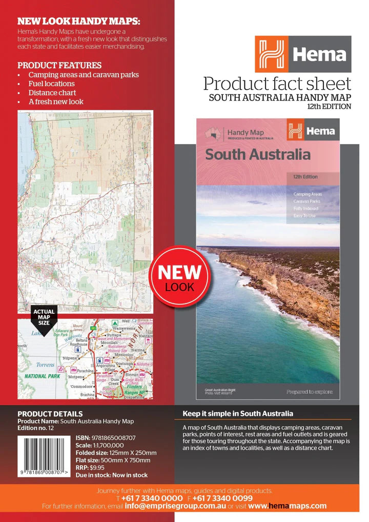
The Hema South Australia Handy Map (12th edition) is a compact 1:1,700,000 scale road map built for touring throughout South Australia. It marks camping areas, caravan parks, fuel outlets, rest areas and points of interest across the state, giving travellers the practical detail needed to plan fuel stops and overnight stays on the go. A full index of towns and localities plus a distance chart make it easy to work out driving times and plan a route between destinations. Folding down to a genuinely pocket-sized 125mm x 250mm and weighing just 50 grams, it's the most compact option in the Hema Maps South Australia range, designed to slip into a glovebox, door pocket or daypack without taking up space. Once unfolded, the flat map measures 500mm x 875mm, giving a clear overview of the whole state. It's a straightforward, no-fuss navigation aid for caravanners, road trippers and grey nomads touring South Australia who want reliable coverage without a bulky map to manage.